SENTIER DE BELLEVUE (N°55)
Walks and hikes
in Crennes-sur-Fraubée
-
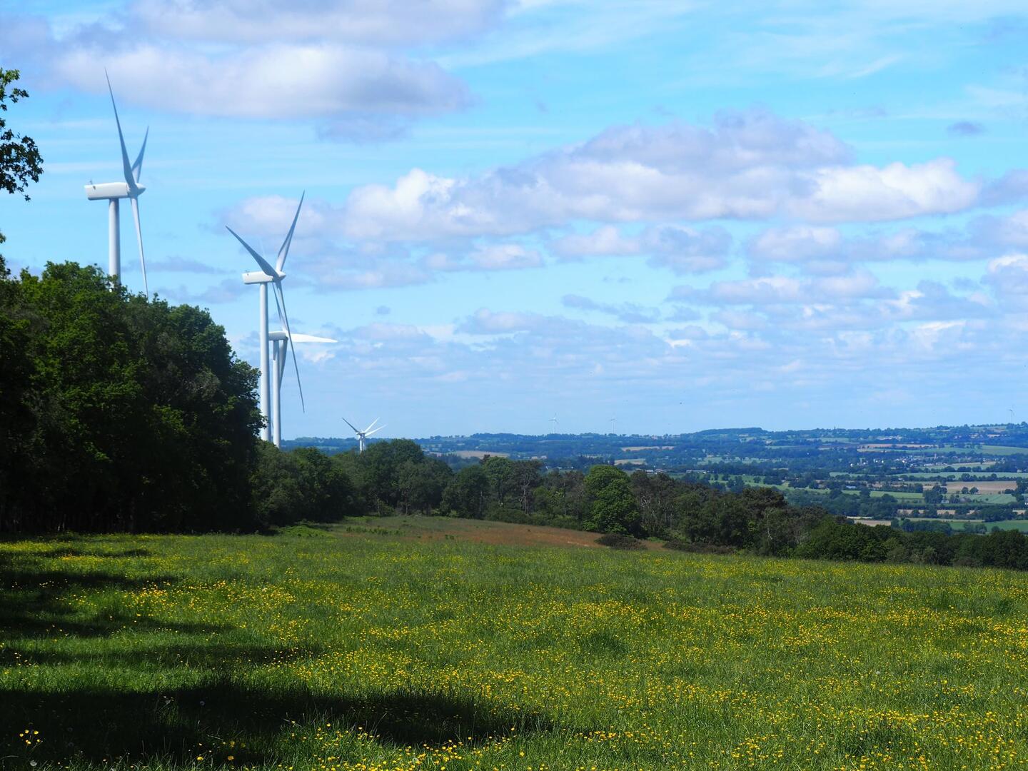
The village of Crennes-sur-Fraubée, on the southern slopes of the Corniche de Pail, offers magnificent views over the surrounding countryside.
-
The Bellevue path (88% dirt) starts in the village near the pretty little village church, built in the 12th century with an altarpiece dating from the 17th century.
From the church, follow the D511 towards the town hall for 50m and take a small track on the left that soon rejoins the route de Villepail. Continuing on the D240, pass by a fir grove and go around it. Arrive at Le Tertre. Begin the climb along an old wall on the right of Le Tertre. Look out for folded hedges. These beech trees,...The Bellevue path (88% dirt) starts in the village near the pretty little village church, built in the 12th century with an altarpiece dating from the 17th century.
From the church, follow the D511 towards the town hall for 50m and take a small track on the left that soon rejoins the route de Villepail. Continuing on the D240, pass by a fir grove and go around it. Arrive at Le Tertre. Begin the climb along an old wall on the right of Le Tertre. Look out for folded hedges. These beech trees, plaited by our ancestors, were used to enclose plots of land simply by plaiting young branches together.
From the mid-slope, join the GR de Pays linking Villaines-la-Juhel to Couptrain. The climb ends in a grove of beech trees. This is the highest part of the route, marked by the Signal de Pail (356m). The ridge path on the left marks the boundary between the communes of Crennes-sur-Fraubée and Villepail. Go past La Mézangerie, then continue straight ahead. There is a new viewpoint here on the northern slopes, where you can see the village of Chattemoue and its old slate quarries. Once you reach a crossroads, the most exhausted will head back down towards the village 1km away. The others continue straight on to a second crossroads. Turn right at the abandoned Claire-Fontaine farm, then La Giberdière and La Maillardière. At the next crossroads, take the path rising to the left. This takes you back to the ridge and back towards the village.
- Departure
- Crennes-sur-Fraubée
-
-
Documentation
- GPX / KML files allow you to export the trail of your hike to your GPS (or other navigation tool)
-
- See all reviews