BOUCLE DES BRUYERES (N°107)
Walks and hikes
in Villepail
-
Hike from Villepail to the small village of Chattemoue and its houses adorned with chistes, a reminder of the slate quarries.
-
Start from the church in Villepail. Take departmental road No. 218 towards Javron opposite the church, go downhill and after about a kilometre turn left towards "Pierrepont", then left at "la Bruyère", the road becomes a dirt track that joins the D256, turn right for about 300 metres, then at the crossroads a nice dirt track about 700 metres wide at the start leads to "la Pommeraie", turn left along a small road for 200 metres. Go past "La Motterie", then turn left onto the D 218 and you...
Start from the church in Villepail. Take departmental road No. 218 towards Javron opposite the church, go downhill and after about a kilometre turn left towards "Pierrepont", then left at "la Bruyère", the road becomes a dirt track that joins the D256, turn right for about 300 metres, then at the crossroads a nice dirt track about 700 metres wide at the start leads to "la Pommeraie", turn left along a small road for 200 metres. Go past "La Motterie", then turn left onto the D 218 and you will come to CHATTEMOUE, a ghost village. In fact, this village was very lively when the slate quarries were in operation, with many dwellings for the workers. You can see the traditional workers' dwellings with slate cladding.
This slate quarrying village employed 300 workers between 1840 and 1870.
Today, the site is occupied by two activities: the assembly of concrete staircases and the manufacture of expanded aggregates using rock heated to high temperatures.
Go through Chattemoue and continue to the right on the old road that used to run through the village, joining the D218 and turning left.
In Chattemoue you will find the "GR de Pays de la Mayenne Profonde".
Leave the Javron slate quarry circuit (no. 1) on the right and continue straight ahead. When you reach a small road, turn right, then left opposite "Belleville" up a track. Cross the D256 and join the Crennes circuit (no. 55), leaving the GRP on your left and turning right at the edge of a copse. Follow the path on the left towards the wind turbines on the ridge, offering magnificent views on both sides. Continue straight ahead, crossing the Crennes/Villepail road as far as the Mézangerie. At this point, turn left towards Villepail and keep going straight ahead. Do not go back down to Villepail, but continue straight ahead to reach the "Egoutelles", which are former quarries. This site, classified as a "regional nature reserve", has a particularly interesting wetland area with peat bogs where carnivorous plant species such as the Drosera and the Grassette du Portugal can be observed. A wooden walkway leads through this fragile area.
To view the site from the top of the old quarry, climb a path with steps and ramps and then descend to the other side.
Then return to the road and descend to Villepail along a small, steep track on the right.
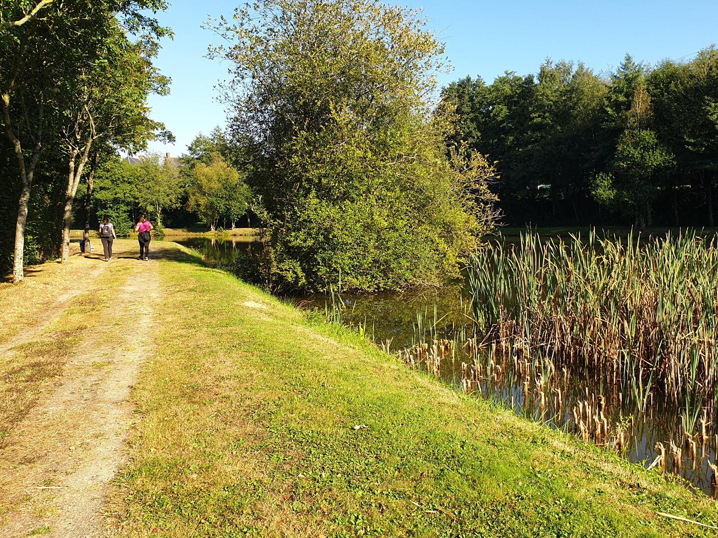
When you reach the village, turn left along a path around the lake.
- Departure
- Villepail
-
-
Documentation
- GPX / KML files allow you to export the trail of your hike to your GPS (or other navigation tool)
-
- See all reviews