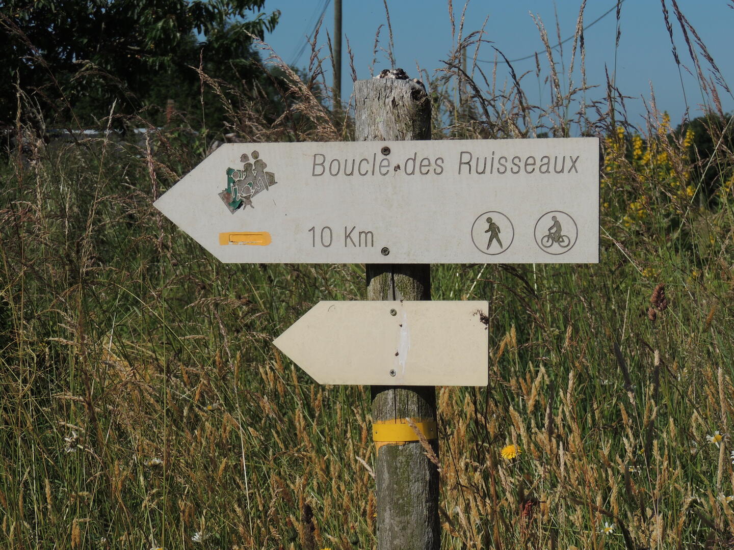
BOUCLE DES RUISSEAUX (N°5)
Walks and hikes
in Saint-Aignan-de-Couptrain
-
The commune of Saint-Aignan-de-Couptrain is the starting point for two circuits that will take you through an unspoilt landscape of hedged farmland.
-
From the square in St-Aignan-de-Couptrain, head towards Javron-les-Chapelles. At the calvary, follow the road to the right. At La Ratterie, turn left into the lane which continues along a track leading up to the D242. Cross the road and join a track leading to the D3. Turn left and then right as far as La Hérissière. Pass under the old railway bridge and turn right up a byroad. At 500m, a track on the right leads to La Tramblaie. Turn left before the junction with the D3, which is reached...
From the square in St-Aignan-de-Couptrain, head towards Javron-les-Chapelles. At the calvary, follow the road to the right. At La Ratterie, turn left into the lane which continues along a track leading up to the D242. Cross the road and join a track leading to the D3. Turn left and then right as far as La Hérissière. Pass under the old railway bridge and turn right up a byroad. At 500m, a track on the right leads to La Tramblaie. Turn left before the junction with the D3, which is reached one kilometre further along by a track on the right. Cross the D3. Crossroads of two tracks. Leave the Dreurie on your left. Go straight on, down a path paved with natural slabs of schist. Arrive at La Monnerie. Go to the village via Haute then Basse Chabossière.
A PR approved by the Comité départemental de la randonnée pédestre is a recognised quality route (varied landscapes, limited percentage of tarmac and presence of natural or historical curiosities) that meets the conditions of durability, safety and respect for the environments it crosses.
- Departure
- Saint-Aignan-de-Couptrain
-
-
Documentation
- GPX / KML files allow you to export the trail of your hike to your GPS (or other navigation tool)
-
- See all reviews