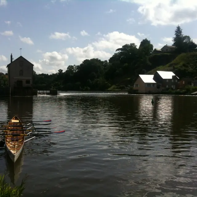

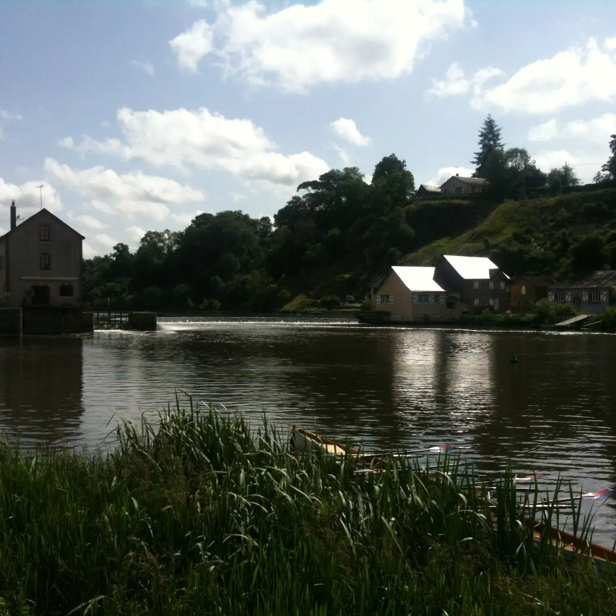
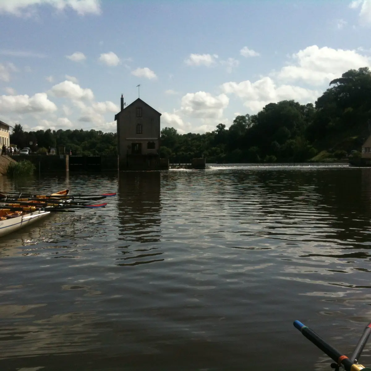
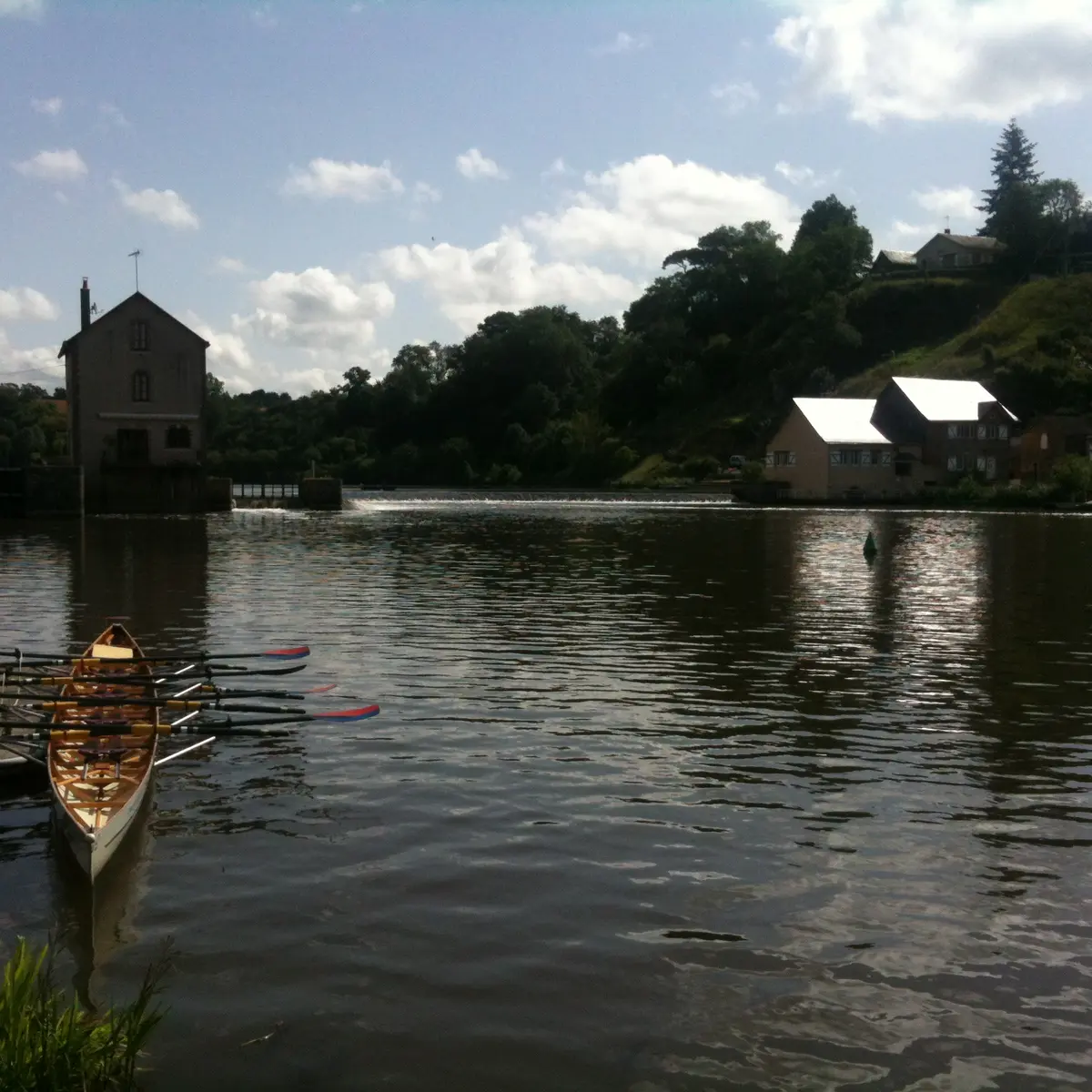
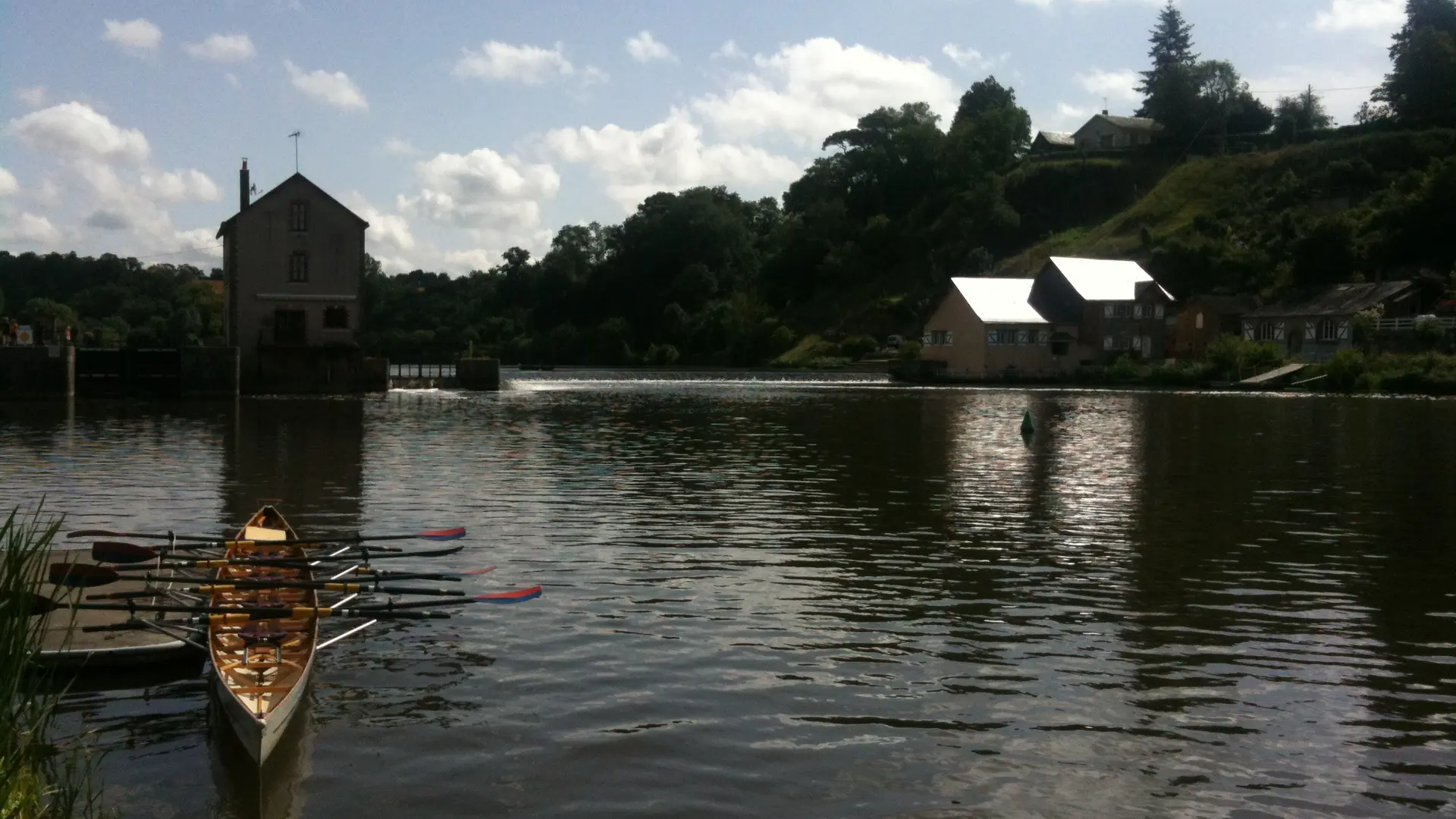
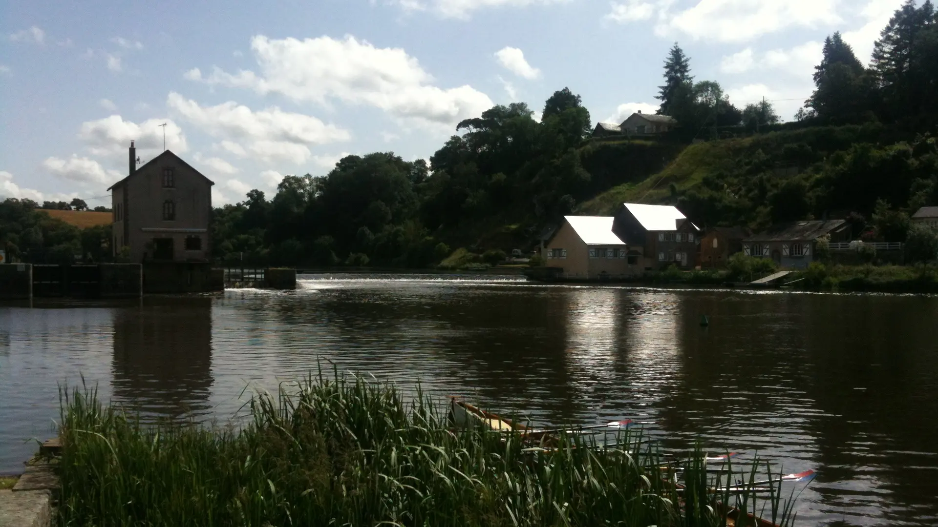
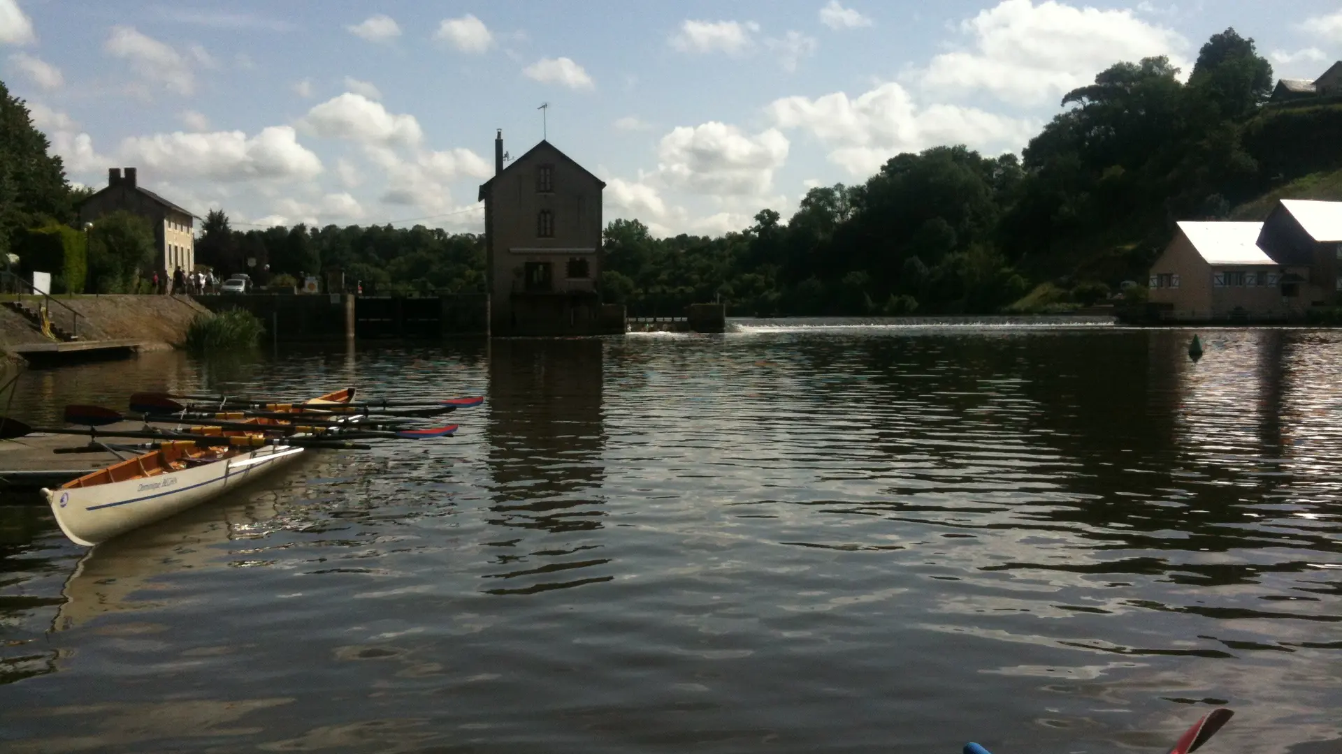
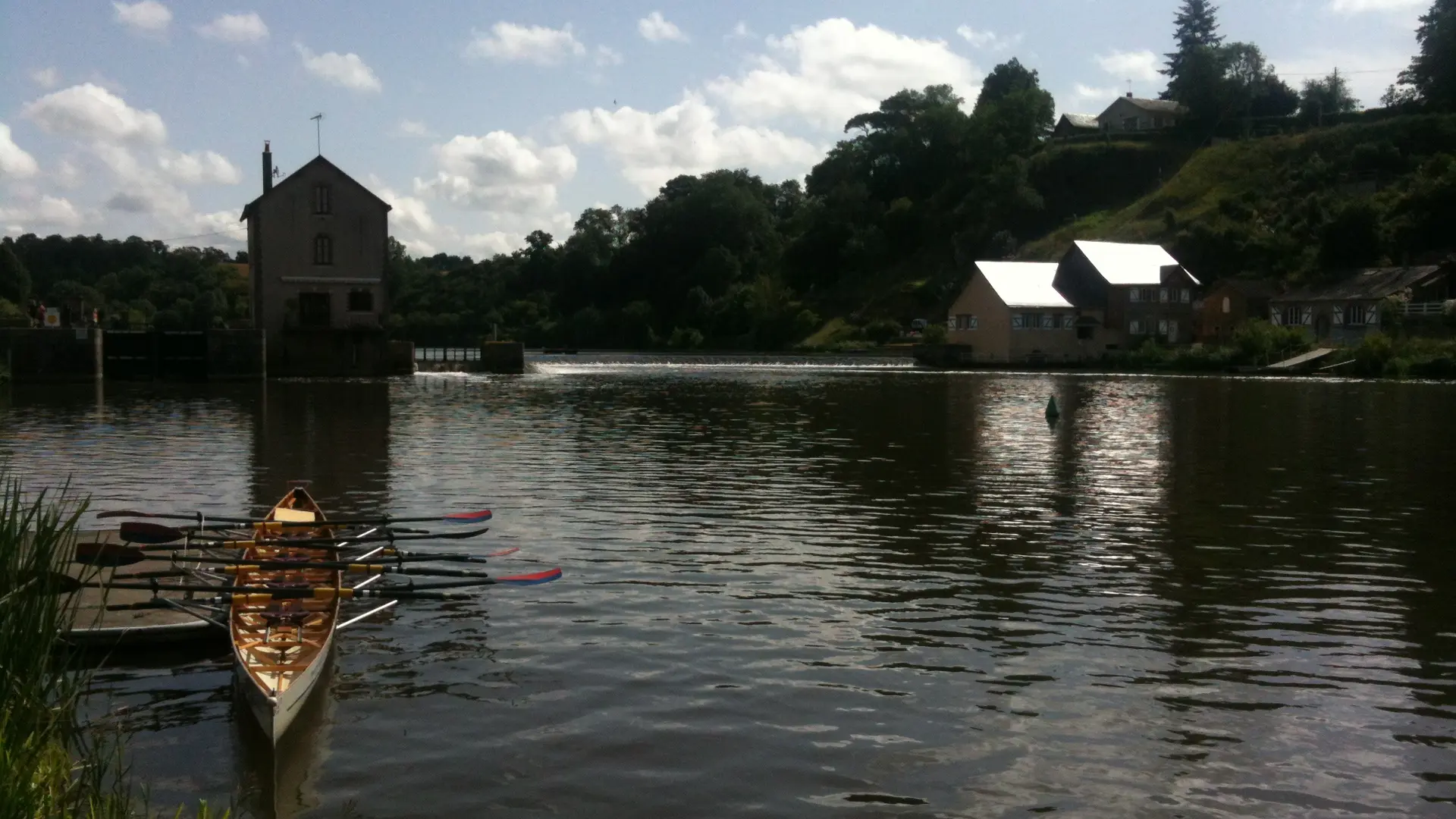
The Neuville causeway is shown on Jaillot's map (1706), along with the two mills it controlled on the right and left banks. When the Mayenne was canalised in the 19th century, it was replaced by a lock dam. The work was carried out by the Ponts et Chaussées engineer Legras, based on plans studied and perhaps definitively drawn up by his predecessor Lahougue. They were awarded on 12 September 1874 by tender to the Brest contractors Buré and Crosnier. The passage was opened to navigation in 1876. However, due to the floods of 1878, 1879 and 1880, the final acceptance of the works did not take place until 14 March 1882. The mill on the right bank was also rebuilt in 1878. The extension to the lock-keeper's house dates from the late 20th century.
Text©Région Pays de la Loire, Patrimoine, l'inventaire en région
Text©Région Pays de la Loire, Patrimoine, l'inventaire en région
Services
Services
Picnic area